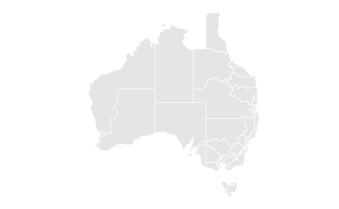
Provides the points that make up the boundaries of each electoral division in the 2025 Australian Federal Election.
Format
A tibble of 8 columns:
- long
Longitude of point in polygon
- lat
Latitude of point in polygon
- hole
Whether the polygon has a hole
- piece
Polygon piece number
- group
Polygon group number
- order
Order of polygon within group
- id
Unique identifier for polygon
- elect_div
Electoral division name
Source
Australian Electoral Commission (AEC) https://www.aec.gov.au/electorates/maps.htm