Centroids of electoral divisions in the 2025 Australian Federal Election
Source:R/data.R
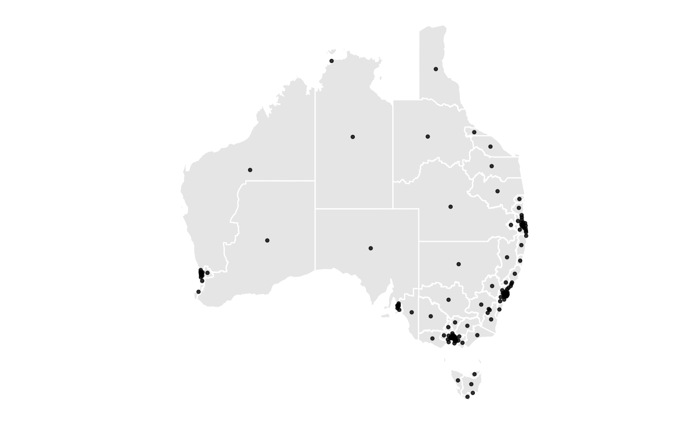
elb_centroid.RdProvides the centroids of all electorates in the 2025 Australian Federal Election. The dataset is computed from 2025 Electoral Boundaries data.
Format
A tibble of 5 columns:
- id
Unique identifier for electorate
- elect_div
Electoral division name
- area_sqkm
Area of the electorate in square kilometres
- long
Longitude of the electoratecentroid
- lat
Latitude of the electorate centroid
Source
Australian Electoral Commission (AEC) https://www.aec.gov.au/electorates/maps.htm
Examples
library(ggplot2)
library(ggthemes)

# Load the dataset
data(elb_centroid)

# Plot the centroids on top of the electoral boundaries
ggplot(elb_map) +
  geom_polygon(
    aes(x = long, y = lat, group = group),
    fill = "grey90", color = "white") +
  geom_point(
    data = elb_centroid,
    aes(x = long, y = lat),
    size = 1, alpha = 0.8
  ) +
  theme_map()